ROADSENSE
Decentralized edge-sensor network for real-time road surface telemetry, hazard classification, and autonomous safety intelligence.
SYSTEM TELEMETRY CAPTURES
Visual logs of anomaly detection from mobile edge nodes.
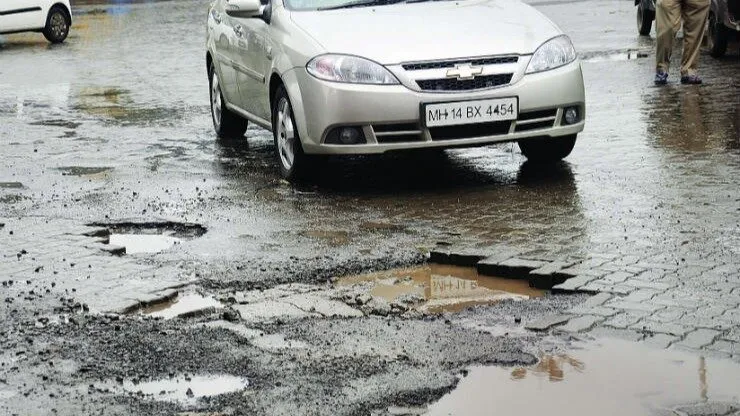
WATERLOGGED POTHOLE ENCOUNTER
Z-axis accelerometer vibration spike exceeding 2.4G registered. Silver sedan negotiating highly degraded pavement blocks and deep waterlogged road anomalies.
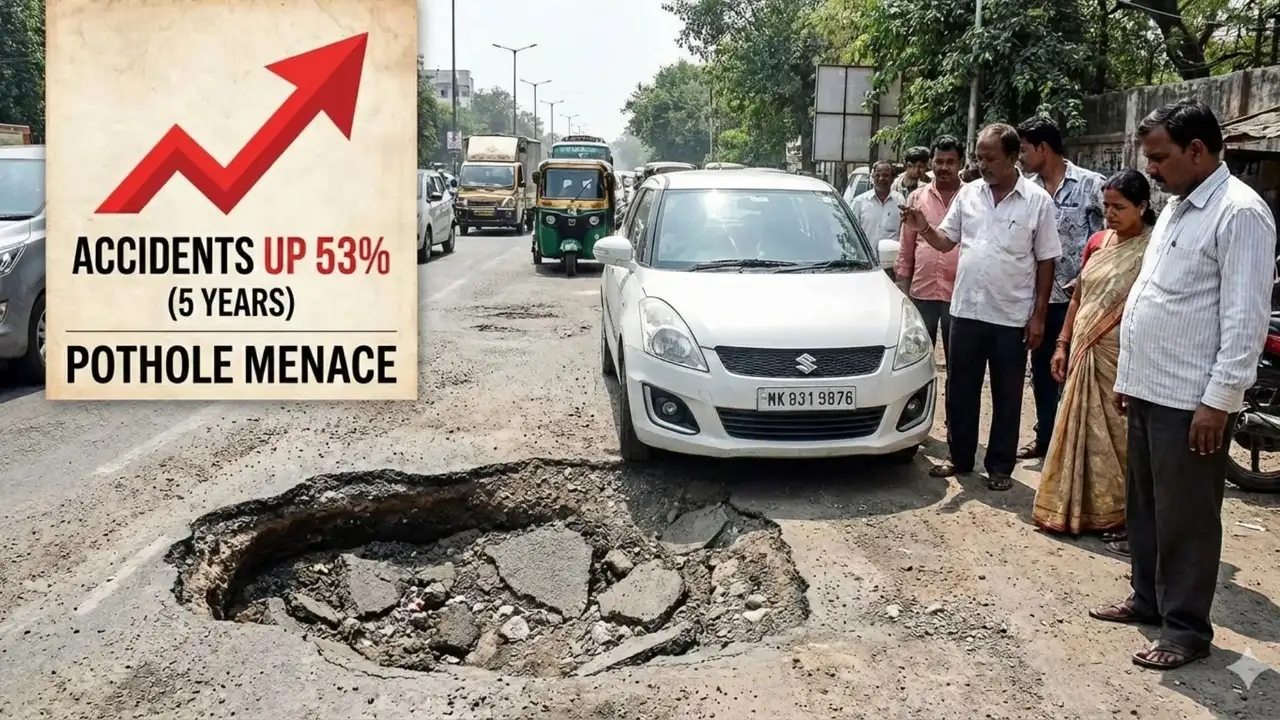
CRITICAL ROADWAY FAILURE
White hatchback stopped directly before a massive sinkhole-style crater. System warns of a 53% increase in pothole menace accidents.
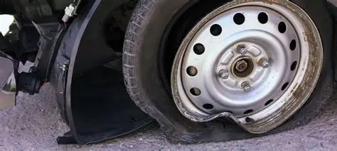
WHEEL & TIRE BLOWOUT STRUCTURAL
Close-up visual telemetry recording structural failure: a flat ruptured tire and heavily bent steel wheel rim resulting from high-impact concussion.
Built for the Edge.
Engineered for Reality.
Six integrated intelligence layers, unified in a single mobile platform. No specialized hardware required.
On-Device Intelligence
Z-axis accelerometer + gyroscope fusion with dynamic Z-score classification running entirely on the mobile edge node — zero cloud latency.
Real-Time Hazard Grid
GPS-fused telemetry plotted on a live consensus map. Pothole clusters, debris zones, and accident corridors tracked with sub-10m precision.
Auto SOS Dispatch
Severe impact events trigger automated NAS 108 emergency dispatch with GPS coordinates and sensor signature — within 8 seconds.
Telemetry Intelligence
Sliding-window statistical analysis with temporal hazard density heatmaps, district-level risk scoring, and predictive surface degradation modeling.
Decentralized Mesh
Every smartphone is a sensor node. Crowdsourced road data aggregated through consensus verification — no single point of failure.
Auth & Identity Layer
Supabase-backed auth with role-based access. Reporters earn verified credentials. Admin portal for municipal ground-truth verification.
From Sensor to Safety
in Under 2 Seconds
Join the Intelligence Grid
Your smartphone becomes a sensor node. Every drive contributes to safer roads for millions.